Upper Egypt
GEOMYTHA reads Upper Egypt through the relationship between a named part and a claimed whole. The regional name and White Crown allow one part to remain recognizable within the Two Lands. The useful question is how a common authority holds differences together: as a relationship requiring care, or as territory it believes it owns absolutely. Upper Egypt is not assigned a permanent personality or an automatic IS/I identity. The comparison becomes relevant when a narrative or emblem joins the region to another under one name. A geographic entry by itself is not an esoteric definition.
The conventional reading locates an upstream region and its royal associations. The GEOMYTHA reading compares the naming of that region within a larger whole to the formation of identity. Geography supplies the relation; it does not prove a psychological doctrine.
Ancient Egyptian geography, Nile agriculture and royal/religious traditions
Harvard Digital Giza FAQ, Egyptian Geography/Nile River; UCL Kingship, regalia; Narmer Palette; Antonio Beato, Met 1981.1194.2.
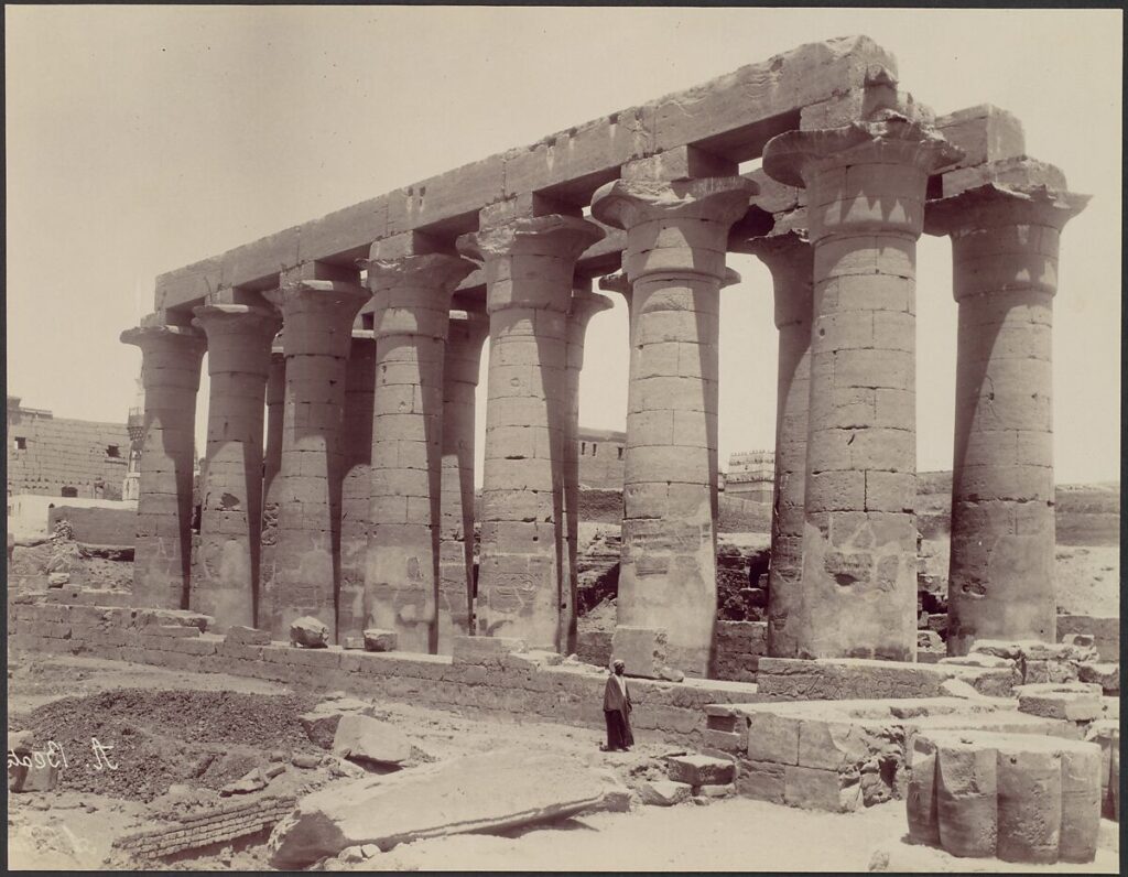
Upper means upstream/south, not higher spiritual rank. No claim that southerners have a common archetypal personality. The Luxor photograph documents a nineteenth-century view, not the origin of the regional designation.
Claim tested: a named region can remain distinct within an overarching identity. Support: Upper Egypt's conventional pairing with Lower Egypt and its separate crown. Counterexample: a region contains many communities and changed politically over time; treating it as one person erases that diversity. Category test: north/south is different from fertile land/desert. Result: retain the part/whole comparison in explicit unification contexts; reject a fixed spiritual meaning for latitude.
Original story and earliest witnesses: this is a historical region, not one authored tale with an original script. Narmer's palette, ca. 3100 BCE, is an early royal witness to differentiated crowns in a unification context; it is not a map of all Upper Egypt. Modern geographic description is checked through Harvard Digital Giza and UCL. The selected Antonio Beato photograph of Luxor dates to the 1870s and is a later visual record. No absolute earliest use of the regional name is established here.